Products
Using different aerial mapping techniques, several products can be generated.
> Cartography / Topography / LiDAR
Digital Surface Model
The Digital Surface Model (MDS) represents the elevation values of the terrain but also the vegetation, the houses or any other object above the terrain.
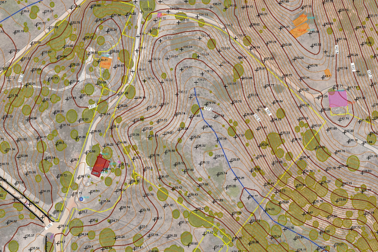
Topographic Survey
Survey of 3D heights, 2D planimetric data, high vegetation and hydrography (water lines, streams, creeks or drainage systems).
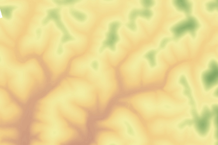
Digital Terrain Model
The Digital Terrain Model (MDT) is created with the triangulation (TIN/Mesh) of elevation points and 3D breaklines.
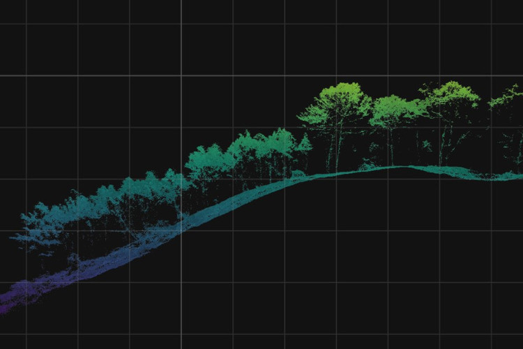
Point Cloud (LAS)
The colored point cloud represents the XY position and Z elevation of each point. It’s a direct product of image triangulation from photogrammetric data or LiDAR sensor.
Classified Point Cloud
In order to extract several layers of information, the point cloud is classified in terrain, vegetation, buildings, accesses, posts or other classes.
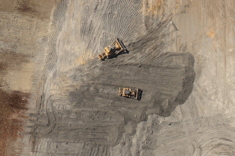
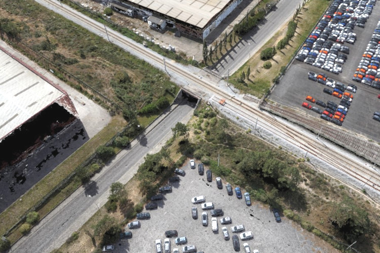
Orthophoto RGB
The orthophoto (GeoTIFF, JPG or PDF) is a georeferenced mosaic of all aerial images.
> NDVI / Vegetation mapping
Forest Inventory
Using the LiDAR sensor, it’s possible to measure the tree height and determine dendrometric parameters such as the of standing wood volume or the perimeter and radius of the crown.
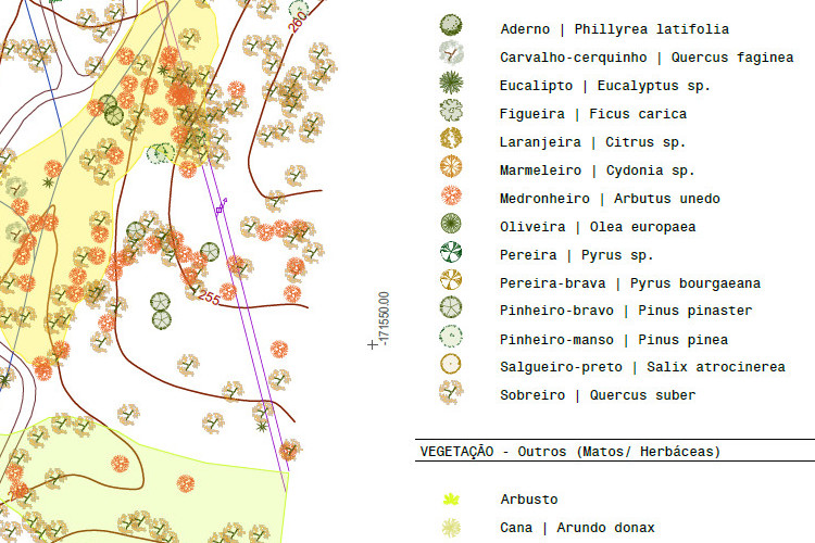
Tree survey
Mapping tree species, location, crown height and radius, diameter (DAP / PAP) or vigor.
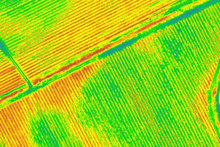
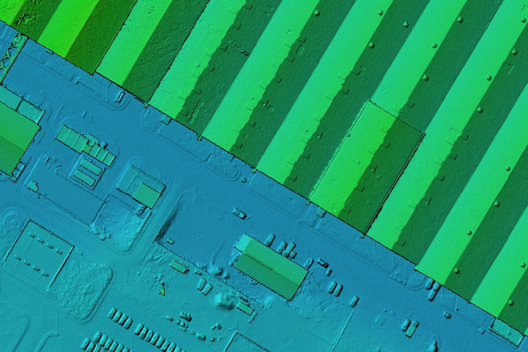
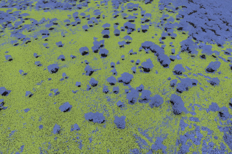
Precision agriculture
With a multispectral sensor, it’s possible to extract vegetation indexes (such as NDVI) and determine the vigor of each plant, area or plantation sector. The analysis is made with climate data, topography and soil data.
3D Modelling
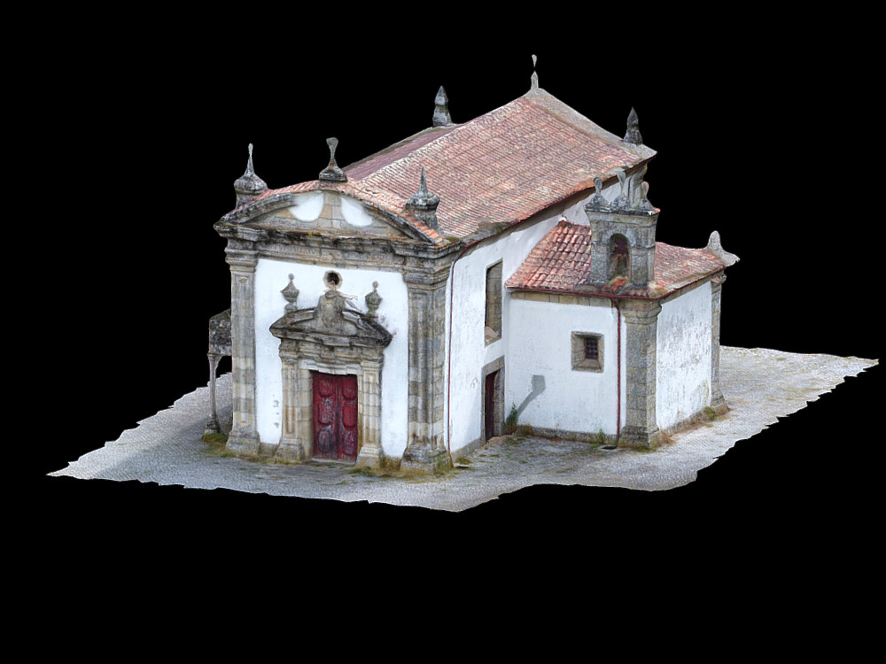
Heritage
3D heritage modeling (OBJ, PLY, FBX)
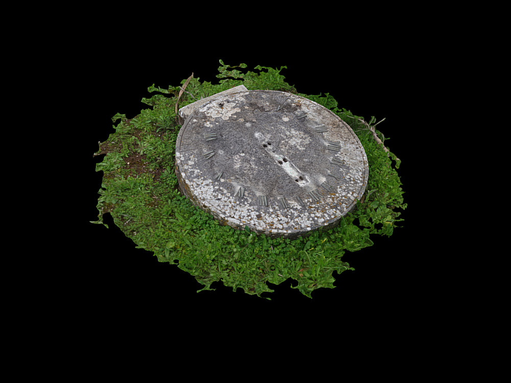
Objects
3D object modeling (OBJ, PLY, FBX)
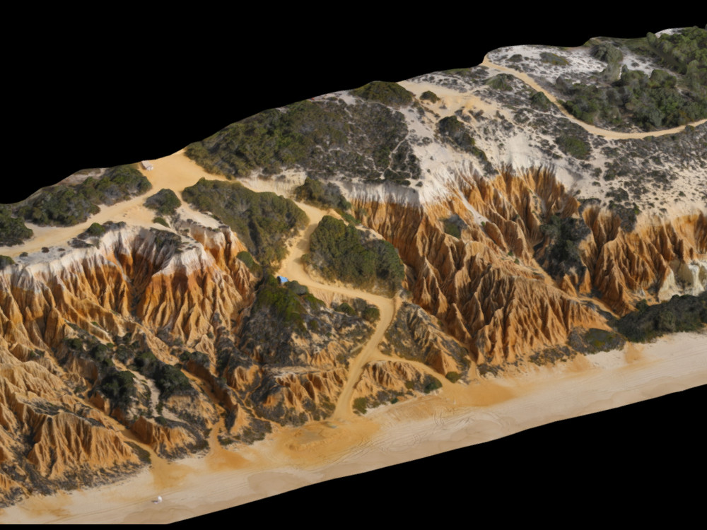
Terrain and vegetation
3D terrain modeling, vegetation or other elements (OBJ, PLY, FBX)