Services
Our company specializes in processing, editing and analysis of spatial information. We provide aerial photography services, topography, cartography, volumetrics or vegetation mapping (NDVI, NDWI, GNDVI), using RGB sensors (24 or 42 Mpx), LiDAR or multispectral (4 bands).
The data is always edited in a 3D environment and delivered in the format that best suits the needs of each client. All our drones fly with PPK system to assure vertical and horizontal precision.
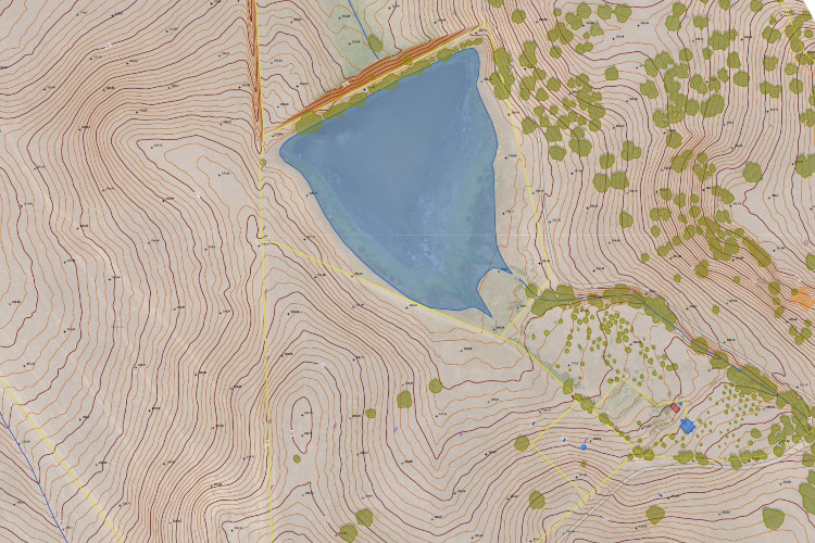
Aerial surveys
Topographic surveys are delivered in DWG or SHP format, and include very high resolution orthophoto, 2D and 3D data (breaklines, contour lines and elevation points).
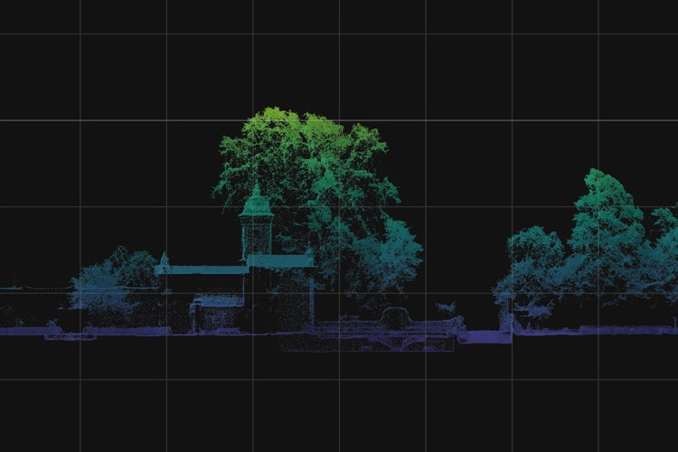
LiDAR
The LiDAR sensor is a type of depth sensor that performs 3D mapping using laser pulses. Ideal for structures, buildings or land with very dense vegetation, it has a 24 Mpx RGB sensor to colorize the LAS point cloud.
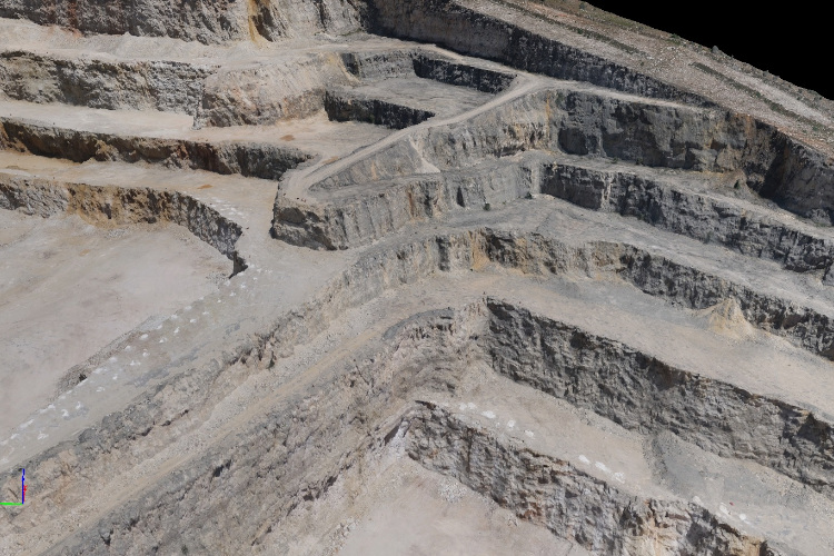
Volumetry
A volumetric analysis measures the volume of a landfill or excavation, and can monitor the evolution of quantities over a certain period of time.
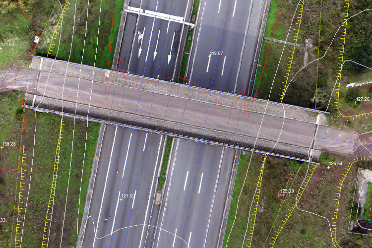
Cartography
Cartographic production models the terrain elevation and vectorizes 2D data based on the DGT Technical Standards for Certified Cartography, or other technical specifications defined by the client.
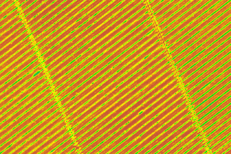
NDVI and Infrared
Using an infrared sensor, it’s possible to measure the reflectance of a given vegetation cover. Vegetation indices (such as NDVI) normalize these measurements and identifies areas with lower vegetative vigor, permeable and impermeable land or extract trees from very large areas.
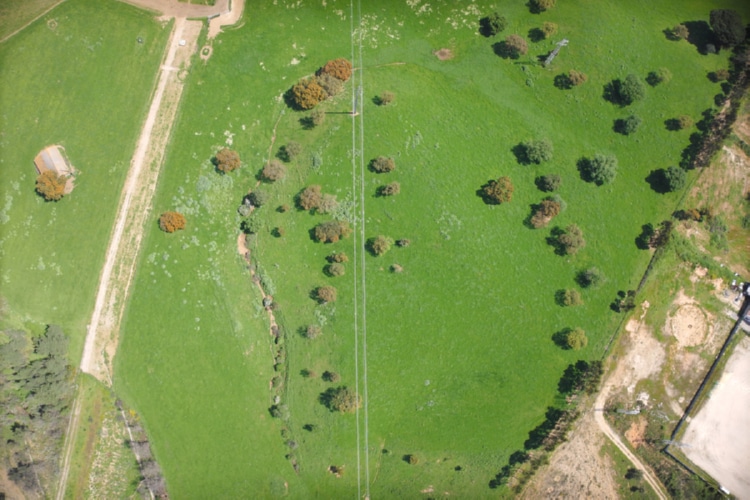
Aerial photography
Aerial images captured via drone allow the creation of orthophotos, which is a mosaic of orthorectified images with resolutions of up to 1 cm/pixel. It’s delivered in GeoTIFF, JPG or PDF format.